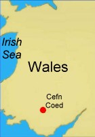
This map of the area shows Cefn as it is today, absorbed into Merthyr Tydfil for obscure administrative reasons (Cefn is at the location of the white dot). Cilsanws is the 1,511 meter peak - take a close look at those altitude demarcations - those are 200 meters apart. Hilly little village it was, all up and down... as my mother was joking the other day, if all the hills in Wales were flattened out, its area would be equal to that of Texas (a rather large, flat, boring place in the U.S.A., famous of late for people who pretend to be "cowboys," but are really just con men). 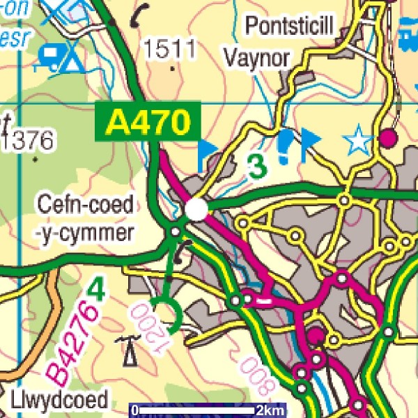 This is a topographical map of the area drawn from Ordnance Survey sources, showing the rivers, the major roads, the mountain north of the village (which here has been called "Cefn Cil-Sanws") and the Cyfarthfa estate grounds: 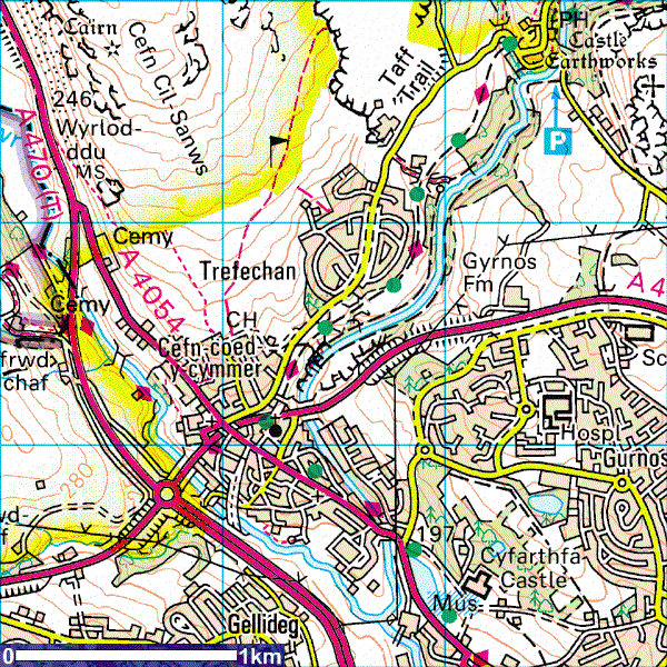 Here are two differently scaled street level maps of the village: 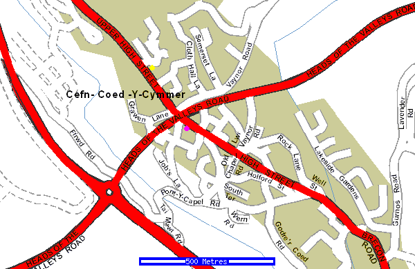 Ashburn is at the yellow dot; 101 High Street the purple one. 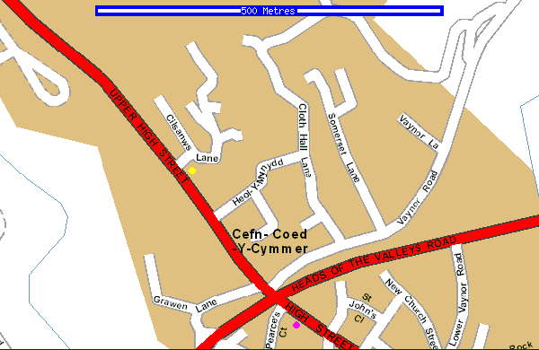 assembled 2/15/02
© Huw Powell file location: www.humanthoughts.org/cefn.htm
|